 KESARIA
Current Status
Where is the vessel?
KESARIA is currently in Near GUISHAN, based on AIS data received about 15h ago.
Latest AIS update:
Current position: 22.06283° N, 113.88164° E (Near GUISHAN)
Average speed (last 7 days): Loading…
Average speed (last 30 days): Loading…
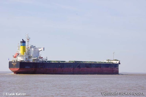
Vessel profile: KESARIA is a Bulk Carrier with dimensions m x m.
This page combines live AIS, route history, probable destination signals, nearby traffic, and port activity for practical vessel monitoring.
The current position of vessel KESARIA is 22.06283 lat / 113.88164 lng. Updated: 2026-05-20 22:22:44 UTCNearest reference points:
- Near WAILINGDING ISLAND
- Near GUISHAN
- Near Cheung Sha Wan
Currently sailing under the flag of Malta ![]()
Details:
Live Vessel KESARIA Analytics (details, animations, etc.)
Recent AIS points (UTC):
2026-05-20 17:37:44 UTC · 22.06261, 113.87903 · SOG 0 kn · COG 131°2026-05-20 19:12:48 UTC · 22.06259, 113.88067 · SOG 0.1 kn · COG 181°
2026-05-20 22:01:45 UTC · 22.06271, 113.88195 · SOG 0 kn · COG 209°
2026-05-20 22:22:44 UTC · 22.06283, 113.88164 · SOG 0 kn · COG 206°