 vesseltracker.com
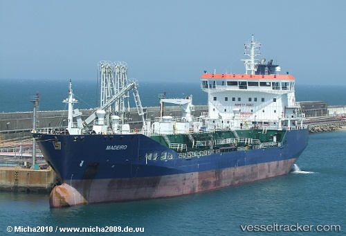
Mt Madeiro
Current StatusWhere is the vessel?
Mt Madeiro is currently in Near Zhangjiagang, based on AIS data received about 1h ago.
Latest AIS update:
Current position: 32.02380° N, 120.55200° E (Near Zhangjiagang)
Average speed (last 7 days): Loading…
Average speed (last 30 days): Loading…
Vessel profile: Mt Madeiro is a Chemical Oil Products Tanker with dimensions 24m x 150m.
This page combines live AIS, route history, probable destination signals, nearby traffic, and port activity for practical vessel monitoring.
The current position of vessel Mt Madeiro is 32.0238 lat / 120.552 lng. Updated: 2026-04-18 17:39:37 UTCNearest reference points:
- Near Zhangjiagang
- 10 nm E of Zhangjiagang
- Near Nantong
Details:
Live Vessel Mt Madeiro Analytics (details, animations, etc.)
Recent AIS points (UTC):
2026-04-18 11:48:42 UTC · 32.02370, 120.55200 · SOG 0 kn · COG 304°2026-04-18 13:51:35 UTC · 32.02340, 120.55200 · SOG 0 kn · COG 302°
2026-04-18 16:06:38 UTC · 32.02350, 120.55200 · SOG 0 kn · COG 302°
2026-04-18 17:39:37 UTC · 32.02380, 120.55200 · SOG 0.1 kn · COG 302°