 ST.SOFIA
Current Status
Where is the vessel?
ST.SOFIA is currently in Near Mersin, based on AIS data received about 14h ago.
Latest AIS update:
Current position: 36.70684° N, 34.64239° E (Near Mersin)
Average speed (last 7 days): Loading…
Average speed (last 30 days): Loading…
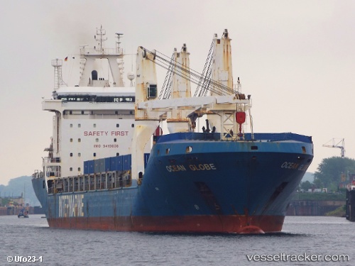
Vessel profile: ST.SOFIA is a General Cargo with dimensions m x m.
This page combines live AIS, route history, probable destination signals, nearby traffic, and port activity for practical vessel monitoring.
The current position of vessel ST.SOFIA is 36.70684 lat / 34.64239 lng. Updated: 2026-05-20 15:54:50 UTCNearest reference points:
- Near Mersin
- Near Mersin-Free Zone
- Near YUMURTALIC
Currently sailing under the flag of Liberia ![]()
Details:
Live Vessel ST.SOFIA Analytics (details, animations, etc.)
Recent AIS points (UTC):
2026-05-20 11:36:05 UTC · 36.70656, 34.64242 · SOG 0.1 kn · COG 77°2026-05-20 13:03:47 UTC · 36.70658, 34.64246 · SOG 0 kn · COG 72°
2026-05-20 13:45:45 UTC · 36.70678, 34.64243 · SOG 0.1 kn · COG 78°
2026-05-20 15:54:50 UTC · 36.70684, 34.64239 · SOG 0.2 kn · COG 85°