 BIRCH ARROW
Current Status
Where is the vessel?
BIRCH ARROW is currently in 26 nm NW of Rio Cullen, based on AIS data received about 14h ago.
Latest AIS update:
Current position: 52.47257° S, 68.64065° W (26 nm NW of Rio Cullen)
Average speed (last 7 days): Loading…
Average speed (last 30 days): Loading…
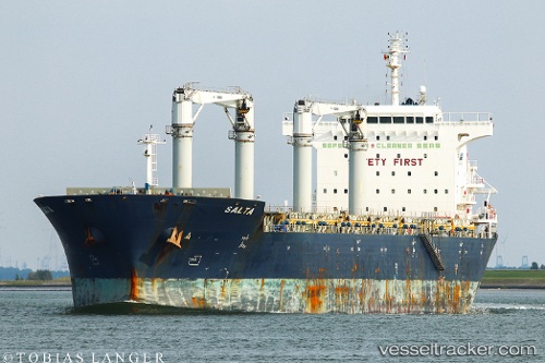
Vessel profile: BIRCH ARROW is a General Cargo with dimensions m x m.
This page combines live AIS, route history, probable destination signals, nearby traffic, and port activity for practical vessel monitoring.
The current position of vessel BIRCH ARROW is -52.47257 lat / -68.64065 lng. Updated: 2026-05-20 09:59:20 UTCNearest reference points:
- 13 nm NW of Rio Cullen
- 46 nm SW of Timaukel
Currently sailing under the flag of Bahamas ![]()
Details:
Live Vessel BIRCH ARROW Analytics (details, animations, etc.)
Recent AIS points (UTC):
2026-05-20 06:06:58 UTC · -52.62352, -69.84147 · SOG 11.2 kn · COG 65°2026-05-20 07:16:27 UTC · -52.49360, -69.57195 · SOG 13 kn · COG 48°
2026-05-20 07:25:28 UTC · -52.47088, -69.53323 · SOG 13.1 kn · COG 50°
2026-05-20 09:59:20 UTC · -52.47257, -68.64065 · SOG 14.2 kn · COG 117°