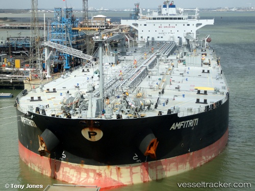
 AMFITRITI
Current Status
Where is the vessel?
AMFITRITI is currently in 88 nm E of Mombasa, based on AIS data received about 15h ago.
Latest AIS update:
Current position: 4.51109° S, 41.08437° E (88 nm E of Mombasa)
Average speed (last 7 days): Loading…
Average speed (last 30 days): Loading…
Vessel profile: AMFITRITI is a Crude Oil Tanker with dimensions m x m.
This page combines live AIS, route history, probable destination signals, nearby traffic, and port activity for practical vessel monitoring.
The current position of vessel AMFITRITI is -4.51109 lat / 41.08437 lng. Updated: 2026-05-20 12:05:08 UTCNearest reference points:
- 11 nm SE of Mombasa
- Near Mombasa
- Near Dar Es Salaam
Currently sailing under the flag of Malta ![]()
Details:
Live Vessel AMFITRITI Analytics (details, animations, etc.)
Recent AIS points (UTC):
2026-05-20 07:59:51 UTC · -4.26735, 40.28847 · SOG 11.6 kn · COG -1°2026-05-20 09:30:33 UTC · -4.36167, 40.58667 · SOG 12 kn · COG -1°
2026-05-20 10:19:11 UTC · -4.40861, 40.74906 · SOG 12.3 kn · COG 114°
2026-05-20 12:05:08 UTC · -4.51109, 41.08437 · SOG 12.2 kn · COG 109°