 HANSA AFRICA
Current Status
Where is the vessel?
HANSA AFRICA is currently in Open sea, approx. 490 nm off the nearest listed port, based on AIS data received about 14h ago.
Latest AIS update:
Current position: 14.37467° N, 111.68927° W (Open sea, approx. 490 nm off the nearest listed port)
Average speed (last 7 days): Loading…
Average speed (last 30 days): Loading…
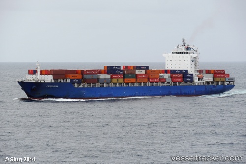
Vessel profile: HANSA AFRICA is a Container Ship with dimensions m x m.
This page combines live AIS, route history, probable destination signals, nearby traffic, and port activity for practical vessel monitoring.
The current position of vessel HANSA AFRICA is 14.37467 lat / -111.68927 lng. Updated: 2026-05-20 03:50:16 UTCNearest reference points:
- Open sea, approx. 490 nm off the nearest listed port
- Open sea, approx. 492 nm off the nearest listed port
- Open sea, approx. 493 nm off the nearest listed port
Currently sailing under the flag of Liberia ![]()
Details:
Live Vessel HANSA AFRICA Analytics (details, animations, etc.)
Recent AIS points (UTC):
2026-05-19 23:25:09 UTC · 14.05528, -110.34377 · SOG 18 kn · COG 284°2026-05-20 01:48:17 UTC · 14.23901, -111.06607 · SOG 18.1 kn · COG 285°
2026-05-20 02:38:35 UTC · 14.29223, -111.32286 · SOG 18.3 kn · COG 284°
2026-05-20 03:50:16 UTC · 14.37467, -111.68927 · SOG 18.4 kn · COG 285°