 vesseltracker.com
 CAPE CAMDEN
Current Status
Where is the vessel?
CAPE CAMDEN is currently in 12 nm NE of San Clodio, based on AIS data received less than 1h ago.
Latest AIS update:
Current position: 48.64150° N, 7.14646° W (12 nm NE of San Clodio)
Average speed (last 7 days): Loading…
Average speed (last 30 days): Loading…
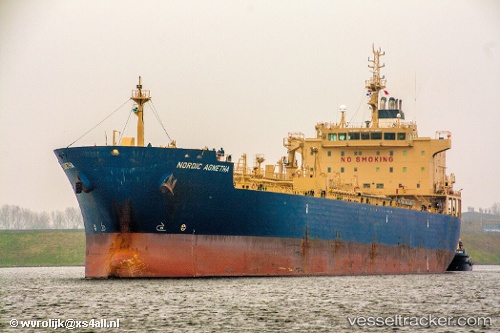
Vessel profile: CAPE CAMDEN is a Chemical/Oil Products Tanker with dimensions 184m x 27m.
This page combines live AIS, route history, probable destination signals, nearby traffic, and port activity for practical vessel monitoring.
The current position of vessel CAPE CAMDEN is 48.64150 lat / -7.14646 lng. Updated: 2026-05-14 07:21:23 UTCNearest reference points:
- 28 nm N of San Clodio
- 35 nm SW of Ile D’Ouessant
- 60 nm SE of San Clodio
Currently sailing under the flag of Liberia ![]()
CAPE CAMDEN built in 2009 year
Deadweight:
37791 tDetails:
Live Vessel CAPE CAMDEN Analytics (details, animations, etc.)
Recent AIS points (UTC):
2026-05-14 04:00:53 UTC · 48.18833, -7.23333 · SOG 8 kn · COG -1°2026-05-14 06:19:24 UTC · 48.49449, -7.16053 · SOG 7.8 kn · COG 3°
2026-05-14 07:01:34 UTC · 48.59442, -7.14932 · SOG 8.9 kn · COG 2°
2026-05-14 07:21:23 UTC · 48.64150, -7.14646 · SOG 8.1 kn · COG 2°