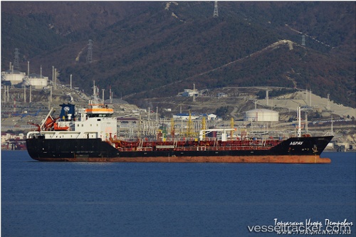
 Abrau
Abrau
Current Status
Where is the vessel?
Abrau is currently in Near Petrolsport, based on AIS data received about 14h ago.
Latest AIS update:
Current position: 59.91154° N, 30.05103° E (Near Petrolsport)
Average speed (last 7 days): Loading…
Average speed (last 30 days): Loading…
Vessel profile: Abrau is a Oil Products Tanker with dimensions 91m x 91m.
This page combines live AIS, route history, probable destination signals, nearby traffic, and port activity for practical vessel monitoring.
The current position of vessel Abrau is 59.91154 lat / 30.05103 lng. Updated: 2026-05-20 20:05:45 UTCNearest reference points:
- Near Petrolsport
- Near LOMONOSOV
- Near Vassilevsky Ostrov/St Petersburg
Currently sailing under the flag of Russia ![]()
Abrau built in 2007 year
Deadweight:
3791 tDetails:
Live Vessel Abrau Analytics (details, animations, etc.)
Recent AIS points (UTC):
2026-05-20 20:05:45 UTC · 59.91154, 30.05103 · SOG 8.7 kn · COG 292°2026-05-20 20:05:45 UTC · 59.91154, 30.05103 · SOG 8.7 kn · COG 292°
2026-05-20 20:05:45 UTC · 59.91154, 30.05103 · SOG 8.7 kn · COG 292°
2026-05-20 20:05:45 UTC · 59.91154, 30.05103 · SOG 8.7 kn · COG 292°