 MUMTAZ
Current Status
Where is the vessel?
MUMTAZ is currently in Near CILACAP, based on AIS data received about 14h ago.
Latest AIS update:
Current position: 7.69483° S, 109.08904° E (Near CILACAP)
Average speed (last 7 days): Loading…
Average speed (last 30 days): Loading…
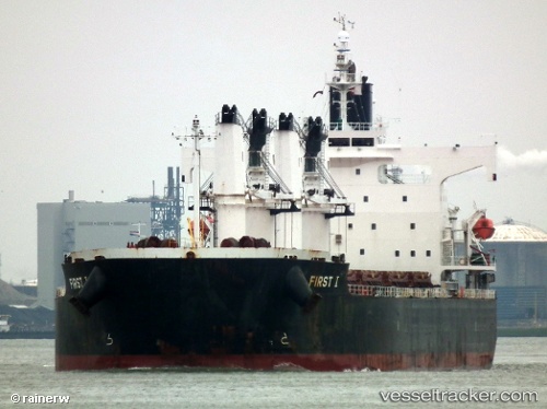
Vessel profile: MUMTAZ is a Bulk Carrier with dimensions m x m.
This page combines live AIS, route history, probable destination signals, nearby traffic, and port activity for practical vessel monitoring.
The current position of vessel MUMTAZ is -7.69483 lat / 109.08904 lng. Updated: 2026-05-19 13:11:21 UTCNearest reference points:
- Near Batang
- 26 nm N of Pemalang
- 25 nm N of Gunungsari
Currently sailing under the flag of Indonesia ![]()
Details:
Live Vessel MUMTAZ Analytics (details, animations, etc.)
Recent AIS points (UTC):
2026-05-19 10:20:16 UTC · -7.69482, 109.08906 · SOG 0 kn · COG -1°2026-05-19 11:11:19 UTC · -7.69480, 109.08907 · SOG 0 kn · COG -1°
2026-05-19 11:38:19 UTC · -7.69482, 109.08902 · SOG 0 kn · COG -1°
2026-05-19 13:11:21 UTC · -7.69483, 109.08904 · SOG 0.1 kn · COG -1°