 vesseltracker.com
 PLANTIJNGRACHT
Current Status
Where is the vessel?
PLANTIJNGRACHT is currently in 16 nm NE of Jingjiang, based on AIS data received less than 1h ago.
Latest AIS update:
Current position: 31.19089° N, 122.68467° E (16 nm NE of Jingjiang)
Average speed (last 7 days): Loading…
Average speed (last 30 days): Loading…
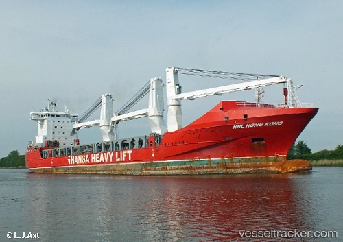
Vessel profile: PLANTIJNGRACHT is a General Cargo Ship with dimensions 169m x 26m.
This page combines live AIS, route history, probable destination signals, nearby traffic, and port activity for practical vessel monitoring.
The current position of vessel PLANTIJNGRACHT is 31.19089 lat / 122.68467 lng. Updated: 2026-05-15 09:47:49 UTCNearest reference points:
- 15 nm NE of Jingjiang
- 17 nm NE of Jingjiang
- 14 nm N of Lü-hua Shan
Currently sailing under the flag of Netherlands ![]()
PLANTIJNGRACHT built in 2010 year
Deadweight:
19347 tDetails:
Live Vessel PLANTIJNGRACHT Analytics (details, animations, etc.)
Recent AIS points (UTC):
2026-05-15 07:02:47 UTC · 31.19140, 122.68707 · SOG 0.1 kn · COG 301°2026-05-15 07:47:46 UTC · 31.19132, 122.68717 · SOG 0.1 kn · COG 316°
2026-05-15 09:47:49 UTC · 31.19089, 122.68467 · SOG 0 kn · COG 52°
2026-05-15 09:47:49 UTC · 31.19089, 122.68467 · SOG 0 kn · COG 52°