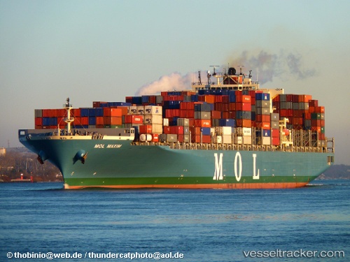
 ONE MAXIM
Current Status
Where is the vessel?
ONE MAXIM is currently in 347 nm W of Diego Garcia, based on AIS data received about 14h ago.
Latest AIS update:
Current position: 7.68629° S, 66.64769° E (347 nm W of Diego Garcia)
Average speed (last 7 days): Loading…
Average speed (last 30 days): Loading…
Vessel profile: ONE MAXIM is a Container Ship with dimensions m x m.
This page combines live AIS, route history, probable destination signals, nearby traffic, and port activity for practical vessel monitoring.
The current position of vessel ONE MAXIM is -7.68629 lat / 66.64769 lng. Updated: 2026-05-20 22:05:28 UTCNearest reference points:
- Open sea, approx. 401 nm off the nearest listed port
- Open sea, approx. 414 nm off the nearest listed port
- Open sea, approx. 402 nm off the nearest listed port
Currently sailing under the flag of Japan ![]()
Details:
Live Vessel ONE MAXIM Analytics (details, animations, etc.)
Recent AIS points (UTC):
2026-05-20 16:48:21 UTC · -6.73493, 67.63682 · SOG 15.2 kn · COG 227°2026-05-20 17:57:32 UTC · -6.94384, 67.42471 · SOG 15.4 kn · COG 226°
2026-05-20 21:40:39 UTC · -7.60833, 66.72667 · SOG 15 kn · COG -1°
2026-05-20 22:05:28 UTC · -7.68629, 66.64769 · SOG 15.9 kn · COG 226°