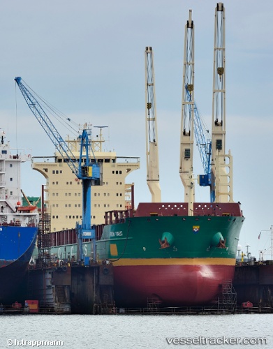
 African Forest
Current Status
Where is the vessel?
African Forest is currently in 181 nm NE of Sukarnopura, based on AIS data received about 119d ago.
Latest AIS update:
Current position: 0.12333° N, 142.15500° E (181 nm NE of Sukarnopura)
Average speed (last 7 days): Loading…
Average speed (last 30 days): Loading…
Vessel profile: African Forest is a Multi Purpose Carrier with dimensions 166m x 27m.
This page combines live AIS, route history, probable destination signals, nearby traffic, and port activity for practical vessel monitoring.
The current position of vessel African Forest is 0.12333 lat / 142.15500 lng. Updated: 2026-01-21 23:59:42 UTCCurrently sailing under the flag of Portugal ![]()
African Forest built in 2011 year
Deadweight:
28439 tDetails:
Live Vessel African Forest Analytics (details, animations, etc.)
Recent AIS points (UTC):
2026-01-21 23:59:42 UTC · 0.12333, 142.15500 · SOG 10 kn · COG -1°