 DIONI
DIONI
Current Status
Where is the vessel?
DIONI is currently in 117 nm N of Quiterianópolis, based on AIS data received about 14h ago.
Latest AIS update:
Current position: 7.73500° N, 40.25167° W (117 nm N of Quiterianópolis)
Average speed (last 7 days): Loading…
Average speed (last 30 days): Loading…
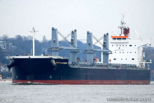
Vessel profile: DIONI is a Bulk Carrier with dimensions m x m.
This page combines live AIS, route history, probable destination signals, nearby traffic, and port activity for practical vessel monitoring.
The current position of vessel DIONI is 7.73500 lat / -40.25167 lng. Updated: 2026-05-21 01:47:54 UTCCurrently sailing under the flag of Portugal ![]()
Details:
Live Vessel DIONI Analytics (details, animations, etc.)
Recent AIS points (UTC):
2026-05-20 22:17:55 UTC · 7.37500, -40.75500 · SOG 10 kn · COG -1°2026-05-20 23:56:56 UTC · 7.54500, -40.51833 · SOG 10 kn · COG -1°
2026-05-21 01:33:56 UTC · 7.71085, -40.28613 · SOG 10.5 kn · COG 58°
2026-05-21 01:47:54 UTC · 7.73500, -40.25167 · SOG 10 kn · COG -1°