 IMS JAKARTA
Current Status
Where is the vessel?
IMS JAKARTA is currently in Near LINKOU, based on AIS data received about 15h ago.
Latest AIS update:
Current position: 25.15745° N, 121.26127° E (Near LINKOU)
Average speed (last 7 days): Loading…
Average speed (last 30 days): Loading…
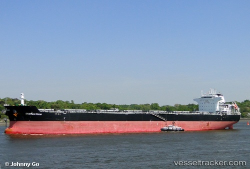
Vessel profile: IMS JAKARTA is a Bulk Carrier with dimensions m x m.
This page combines live AIS, route history, probable destination signals, nearby traffic, and port activity for practical vessel monitoring.
The current position of vessel IMS JAKARTA is 25.15745 lat / 121.26127 lng. Updated: 2026-05-20 11:29:02 UTCNearest reference points:
- Near Sha-lun
- Near Bali
- 11 nm NE of Bali
Currently sailing under the flag of Indonesia ![]()
Details:
Live Vessel IMS JAKARTA Analytics (details, animations, etc.)
Recent AIS points (UTC):
2026-05-20 07:50:02 UTC · 25.15577, 121.26625 · SOG 0.6 kn · COG 275°2026-05-20 10:05:02 UTC · 25.15728, 121.26616 · SOG 0 kn · COG 243°
2026-05-20 10:08:00 UTC · 25.15730, 121.26612 · SOG 0.1 kn · COG 242°
2026-05-20 11:29:02 UTC · 25.15745, 121.26127 · SOG 0.6 kn · COG 161°