 SHIVA
SHIVA
Current Status
Where is the vessel?
SHIVA is currently in 44 nm NE of Oluvil, based on AIS data received about 14h ago.
Latest AIS update:
Current position: 7.94757° N, 82.15156° E (44 nm NE of Oluvil)
Average speed (last 7 days): Loading…
Average speed (last 30 days): Loading…
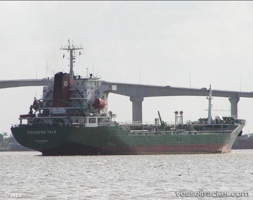
Vessel profile: SHIVA is a Oil Products Tanker with dimensions m x m.
This page combines live AIS, route history, probable destination signals, nearby traffic, and port activity for practical vessel monitoring.
The current position of vessel SHIVA is 7.94757 lat / 82.15156 lng. Updated: 2026-05-20 22:19:39 UTCNearest reference points:
- 67 nm E of Oluvil
- 42 nm E of Konwelana
- 40 nm E of Konwelana
Currently sailing under the flag of Barbados ![]()
Details:
Live Vessel SHIVA Analytics (details, animations, etc.)
Recent AIS points (UTC):
2026-05-20 17:41:50 UTC · 8.57333, 82.13667 · SOG 7 kn · COG -1°2026-05-20 19:08:52 UTC · 8.38500, 82.11167 · SOG 8 kn · COG -1°
2026-05-20 19:29:19 UTC · 8.33895, 82.11396 · SOG 7.8 kn · COG 176°
2026-05-20 22:19:39 UTC · 7.94757, 82.15156 · SOG 8.6 kn · COG 190°