 SONA
SONA
Current Status
Where is the vessel?
SONA is currently in 15 nm NE of Viinistu Sadam, based on AIS data received about 14h ago.
Latest AIS update:
Current position: 59.85625° N, 26.00237° E (15 nm NE of Viinistu Sadam)
Average speed (last 7 days): Loading…
Average speed (last 30 days): Loading…
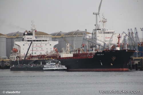
Vessel profile: SONA is a Oil/Chemical Tanker with dimensions m x m.
This page combines live AIS, route history, probable destination signals, nearby traffic, and port activity for practical vessel monitoring.
The current position of vessel SONA is 59.85625 lat / 26.00237 lng. Updated: 2026-05-21 05:20:36 UTCNearest reference points:
- 13 nm N of Viinistu Sadam
- Near Vessölandet
- Near Vuosaari (Nordsjö)
Currently sailing under the flag of Sierra Leone ![]()
Details:
Live Vessel SONA Analytics (details, animations, etc.)
Recent AIS points (UTC):
2026-05-21 02:08:36 UTC · 59.85607, 26.00265 · SOG 0 kn · COG 271°2026-05-21 03:50:37 UTC · 59.85632, 26.00237 · SOG 0 kn · COG 260°
2026-05-21 04:32:36 UTC · 59.85640, 26.00223 · SOG 0 kn · COG 261°
2026-05-21 05:20:36 UTC · 59.85625, 26.00237 · SOG 0.1 kn · COG 268°