 vesseltracker.com
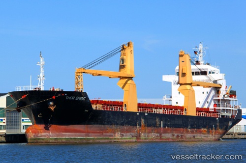
 Tinos
Tinos
Current Status
Where is the vessel?
Tinos is currently in Near Praia, based on AIS data received less than 1h ago.
Latest AIS update:
Current position: 14.90792° N, 23.50007° W (Near Praia)
Average speed (last 7 days): Loading…
Average speed (last 30 days): Loading…
Vessel profile: Tinos is a Multi Purpose Carrier with dimensions 116m x 18m.
This page combines live AIS, route history, probable destination signals, nearby traffic, and port activity for practical vessel monitoring.
The current position of vessel Tinos is 14.90792 lat / -23.50007 lng. Updated: 2026-05-15 22:20:29 UTCNearest reference points:
- 39 nm W of Ilha do Sal
- Near Ilha do Sal
Currently sailing under the flag of Antigua Barbuda ![]()
Tinos built in 2007 year
Deadweight:
8280 tDetails:
Live Vessel Tinos Analytics (details, animations, etc.)
Recent AIS points (UTC):
2026-05-15 19:35:27 UTC · 14.90666, -23.50081 · SOG 0 kn · COG 30°2026-05-15 19:35:27 UTC · 14.90666, -23.50081 · SOG 0 kn · COG 30°
2026-05-15 21:50:28 UTC · 14.90790, -23.50009 · SOG 0 kn · COG 30°
2026-05-15 22:20:29 UTC · 14.90792, -23.50007 · SOG 0 kn · COG 30°