 Santa Barbara
Current Status
Where is the vessel?
Santa Barbara is currently in 56 nm S of Minachi, based on AIS data received about 14h ago.
Latest AIS update:
Current position: 32.93295° N, 135.33304° E (56 nm S of Minachi)
Average speed (last 7 days): Loading…
Average speed (last 30 days): Loading…
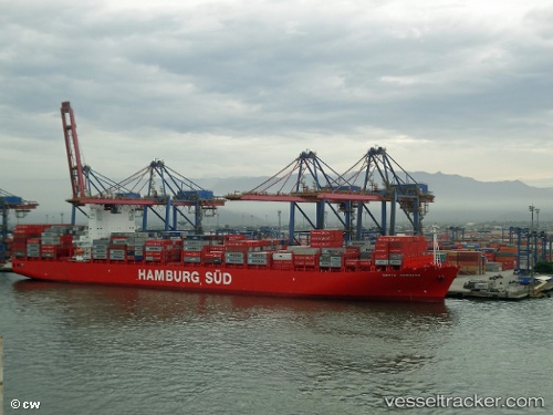
Vessel profile: Santa Barbara is a Container Ship with dimensions 300m x 43m.
This page combines live AIS, route history, probable destination signals, nearby traffic, and port activity for practical vessel monitoring.
The current position of vessel Santa Barbara is 32.93295 lat / 135.33304 lng. Updated: 2026-05-20 11:01:17 UTCNearest reference points:
- 40 nm SW of Minachi
- 23 nm S of Minachi
- 18 nm SE of Gobo Wakayama
Currently sailing under the flag of Denmark ![]()
Santa Barbara built in 2012 year
Deadweight:
92915 tDetails:
Live Vessel Santa Barbara Analytics (details, animations, etc.)
Recent AIS points (UTC):
2026-05-20 07:51:36 UTC · 33.23547, 136.05885 · SOG 12.6 kn · COG 249°2026-05-20 10:03:27 UTC · 33.02167, 135.55833 · SOG 13 kn · COG -1°
2026-05-20 10:03:27 UTC · 33.02167, 135.55833 · SOG 13 kn · COG -1°
2026-05-20 11:01:17 UTC · 32.93295, 135.33304 · SOG 13.2 kn · COG 240°