 BASTIONS
Current Status
Where is the vessel?
BASTIONS is currently in Near Ha Long, based on AIS data received about 14h ago.
Latest AIS update:
Current position: 20.84322° N, 107.14751° E (Near Ha Long)
Average speed (last 7 days): Loading…
Average speed (last 30 days): Loading…
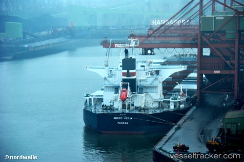
Vessel profile: BASTIONS is a Bulk Carrier with dimensions m x m.
This page combines live AIS, route history, probable destination signals, nearby traffic, and port activity for practical vessel monitoring.
The current position of vessel BASTIONS is 20.84322 lat / 107.14751 lng. Updated: 2026-05-21 04:14:39 UTCNearest reference points:
- 14 nm SE of Nam Hai Dinh Vu Port
- 18 nm SE of Ha Long
- 12 nm SE of Nam Hai Dinh Vu Port
Currently sailing under the flag of Marshall Islands ![]()
Details:
Live Vessel BASTIONS Analytics (details, animations, etc.)
Recent AIS points (UTC):
2026-05-21 00:50:39 UTC · 20.83932, 107.14963 · SOG 0.1 kn · COG 322°2026-05-21 00:50:39 UTC · 20.83932, 107.14963 · SOG 0.1 kn · COG 322°
2026-05-21 03:56:39 UTC · 20.84323, 107.14764 · SOG 0.1 kn · COG 168°
2026-05-21 04:14:39 UTC · 20.84322, 107.14751 · SOG 0.1 kn · COG 166°