 DUBAI TOWER
Current Status
Where is the vessel?
DUBAI TOWER is currently in 12 nm SE of Gombong, based on AIS data received about 14h ago.
Latest AIS update:
Current position: 7.03308° N, 108.22128° E (12 nm SE of Gombong)
Average speed (last 7 days): Loading…
Average speed (last 30 days): Loading…
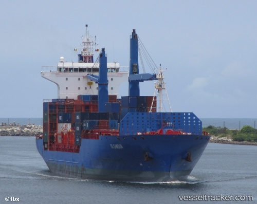
Vessel profile: DUBAI TOWER is a Container Ship with dimensions m x m.
This page combines live AIS, route history, probable destination signals, nearby traffic, and port activity for practical vessel monitoring.
The current position of vessel DUBAI TOWER is 7.03308 lat / 108.22128 lng. Updated: 2026-05-21 05:34:02 UTCNearest reference points:
- 11 nm N of Gombong
- 41 nm NW of Brebes
- 30 nm SW of Dai Hung (Tandem Load)
Currently sailing under the flag of Liberia ![]()
Details:
Live Vessel DUBAI TOWER Analytics (details, animations, etc.)
Recent AIS points (UTC):
2026-05-21 02:28:31 UTC · 6.46477, 107.75557 · SOG 14.2 kn · COG 43°2026-05-21 03:51:22 UTC · 6.71115, 107.97237 · SOG 13.9 kn · COG 44°
2026-05-21 04:09:33 UTC · 6.76568, 108.01306 · SOG 14.1 kn · COG 32°
2026-05-21 05:34:02 UTC · 7.03308, 108.22128 · SOG 14.4 kn · COG 39°