 ERENA
ERENA
Current Status
Where is the vessel?
ERENA is currently in 25 nm W of Seaview, based on AIS data received about 14h ago.
Latest AIS update:
Current position: 46.22966° N, 124.62816° W (25 nm W of Seaview)
Average speed (last 7 days): Loading…
Average speed (last 30 days): Loading…
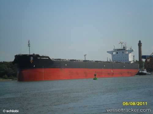
Vessel profile: ERENA is a Bulk Carrier with dimensions m x m.
This page combines live AIS, route history, probable destination signals, nearby traffic, and port activity for practical vessel monitoring.
The current position of vessel ERENA is 46.22966 lat / -124.62816 lng. Updated: 2026-05-20 14:21:57 UTCNearest reference points:
- Near WARRENTON
- Near Astoria
- Near Grays River
Currently sailing under the flag of Marshall Islands ![]()
Details:
Live Vessel ERENA Analytics (details, animations, etc.)
Recent AIS points (UTC):
2026-05-20 10:57:36 UTC · 46.19355, -123.85143 · SOG 7.8 kn · COG 265°2026-05-20 11:58:46 UTC · 46.25436, -124.06323 · SOG 11.3 kn · COG 260°
2026-05-20 14:03:26 UTC · 46.22577, -124.55293 · SOG 10.2 kn · COG 280°
2026-05-20 14:21:57 UTC · 46.22966, -124.62816 · SOG 10.3 kn · COG 279°