 LODESTAR WAY
Current Status
Where is the vessel?
LODESTAR WAY is currently in 24 nm NW of Haifa, based on AIS data received about 14h ago.
Latest AIS update:
Current position: 33.02475° N, 34.59663° E (24 nm NW of Haifa)
Average speed (last 7 days): Loading…
Average speed (last 30 days): Loading…
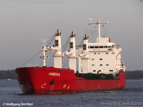
Vessel profile: LODESTAR WAY is a General Cargo Ship with dimensions 147m x 20m.
This page combines live AIS, route history, probable destination signals, nearby traffic, and port activity for practical vessel monitoring.
The current position of vessel LODESTAR WAY is 33.02475 lat / 34.59663 lng. Updated: 2026-05-21 03:53:35 UTCNearest reference points:
- 22 nm W of Haifa Granaries
- Near Haifa
- Near DBAIYEH
Currently sailing under the flag of Liberia ![]()
LODESTAR WAY built in 2007 year
Deadweight:
18510 tDetails:
Live Vessel LODESTAR WAY Analytics (details, animations, etc.)
Recent AIS points (UTC):
2026-05-21 00:19:24 UTC · 32.96469, 34.80853 · SOG 1.6 kn · COG 358°2026-05-21 01:02:13 UTC · 32.97819, 34.82512 · SOG 1.6 kn · COG 354°
2026-05-21 02:03:44 UTC · 33.00184, 34.84540 · SOG 1.8 kn · COG 292°
2026-05-21 03:53:35 UTC · 33.02475, 34.59663 · SOG 9.3 kn · COG 271°