 Hsl Anna
Current Status
Where is the vessel?
Hsl Anna is currently in 77 nm E of Pizhou, based on AIS data received about 15h ago.
Latest AIS update:
Current position: 18.51978° N, 58.36099° E (77 nm E of Pizhou)
Average speed (last 7 days): Loading…
Average speed (last 30 days): Loading…
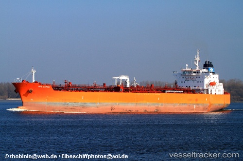
Vessel profile: Hsl Anna is a Chemical Oil Products Tanker with dimensions 183m x 32m.
This page combines live AIS, route history, probable destination signals, nearby traffic, and port activity for practical vessel monitoring.
The current position of vessel Hsl Anna is 18.51978 lat / 58.36099 lng. Updated: 2026-05-20 19:33:52 UTCNearest reference points:
- 39 nm SE of Pizhou
- Near Duqm
- Near AL DUQM
Currently sailing under the flag of Liberia ![]()
Hsl Anna built in 2010 year
Deadweight:
51747 tDetails:
Live Vessel Hsl Anna Analytics (details, animations, etc.)
Recent AIS points (UTC):
2026-05-20 17:01:51 UTC · 18.92142, 58.74512 · SOG 12.9 kn · COG 232°2026-05-20 17:24:00 UTC · 18.86436, 58.68572 · SOG 11.9 kn · COG 225°
2026-05-20 19:21:53 UTC · 18.55027, 58.39168 · SOG 12.9 kn · COG 229°
2026-05-20 19:33:52 UTC · 18.51978, 58.36099 · SOG 11.9 kn · COG 229°