 VOKKI
VOKKI
Current Status
Where is the vessel?
VOKKI is currently in 33 nm E of Claonaig, based on AIS data received about 14h ago.
Latest AIS update:
Current position: 55.72594° N, 6.36410° E (33 nm E of Claonaig)
Average speed (last 7 days): Loading…
Average speed (last 30 days): Loading…
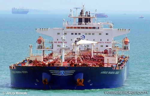
Vessel profile: VOKKI is a Oil Products Tanker with dimensions m x m.
This page combines live AIS, route history, probable destination signals, nearby traffic, and port activity for practical vessel monitoring.
The current position of vessel VOKKI is 55.72594 lat / 6.36410 lng. Updated: 2026-05-21 04:01:56 UTCNearest reference points:
- 36 nm W of HVIDE SANDE
- Near Blavand
- Near Basel
Currently sailing under the flag of Sierra Leone ![]()
Details:
Live Vessel VOKKI Analytics (details, animations, etc.)
Recent AIS points (UTC):
2026-05-20 23:05:49 UTC · 54.96667, 5.53833 · SOG 10 kn · COG -1°2026-05-21 01:20:26 UTC · 55.31520, 5.90840 · SOG 10.8 kn · COG 32°
2026-05-21 01:44:16 UTC · 55.37626, 5.97380 · SOG 10.7 kn · COG 32°
2026-05-21 04:01:56 UTC · 55.72594, 6.36410 · SOG 10.8 kn · COG 34°