 vesseltracker.com
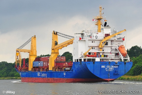
Frieda
Current StatusWhere is the vessel?
Frieda is currently in Near JURONG ISLAND, based on AIS data received less than 1h ago.
Latest AIS update:
Current position: 1.19465° N, 103.62064° E (Near JURONG ISLAND)
Average speed (last 7 days): Loading…
Average speed (last 30 days): Loading…
Vessel profile: Frieda is a Heavy Load Carrier with dimensions 21m x 138m.
This page combines live AIS, route history, probable destination signals, nearby traffic, and port activity for practical vessel monitoring.
The current position of vessel Frieda is 1.19465 lat / 103.62064 lng. Updated: 2026-05-14 03:47:47 UTCNearest reference points:
- Near Nipah
- Near JURONG ISLAND
- Near Tuas
Details:
Live Vessel Frieda Analytics (details, animations, etc.)
Recent AIS points (UTC):
2026-05-13 23:44:38 UTC · 1.26780, 103.88666 · SOG 0.1 kn · COG 108°2026-05-14 01:08:39 UTC · 1.26770, 103.88726 · SOG 0 kn · COG 104°
2026-05-14 01:32:39 UTC · 1.26808, 103.88741 · SOG 0 kn · COG 128°
2026-05-14 03:47:47 UTC · 1.19465, 103.62064 · SOG 13.4 kn · COG 278°