 Nyland
Current Status
Where is the vessel?
Nyland is currently in Near Pärnu Sadama Väikesadam, based on AIS data received about 14h ago.
Latest AIS update:
Current position: 58.37998° N, 24.47624° E (Near Pärnu Sadama Väikesadam)
Average speed (last 7 days): Loading…
Average speed (last 30 days): Loading…
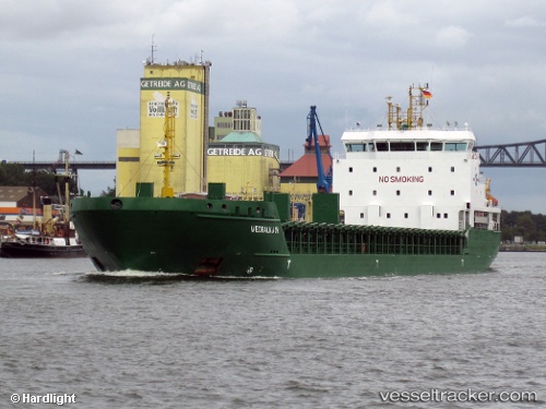
Vessel profile: Nyland is a Multi Purpose Carrier with dimensions 121m x 17m.
This page combines live AIS, route history, probable destination signals, nearby traffic, and port activity for practical vessel monitoring.
The current position of vessel Nyland is 58.37998 lat / 24.47624 lng. Updated: 2026-05-19 03:47:58 UTCNearest reference points:
- Near Vanasadam
- Near Aegna
- Near Ristna
Currently sailing under the flag of Cyprus ![]()
Nyland built in 2009 year
Deadweight:
6777 tDetails:
Live Vessel Nyland Analytics (details, animations, etc.)
Recent AIS points (UTC):
2026-05-18 23:36:06 UTC · 58.01393, 23.98448 · SOG 11.3 kn · COG 71°2026-05-19 01:29:15 UTC · 58.25612, 24.36037 · SOG 9.5 kn · COG 24°
2026-05-19 01:36:25 UTC · 58.27358, 24.37500 · SOG 9.5 kn · COG 24°
2026-05-19 03:47:58 UTC · 58.37998, 24.47624 · SOG 0 kn · COG 191°