 URA
URA
Current Status
Where is the vessel?
URA is currently in 25 nm SE of Sagres, based on AIS data received about 15h ago.
Latest AIS update:
Current position: 36.63074° N, 8.70692° W (25 nm SE of Sagres)
Average speed (last 7 days): Loading…
Average speed (last 30 days): Loading…
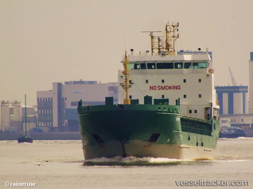
Vessel profile: URA is a General Cargo with dimensions m x m.
This page combines live AIS, route history, probable destination signals, nearby traffic, and port activity for practical vessel monitoring.
The current position of vessel URA is 36.63074 lat / -8.70692 lng. Updated: 2026-05-21 22:24:31 UTCNearest reference points:
- 18 nm S of Sagres
- Near Lagos
- Near Ferragudo
Currently sailing under the flag of Portugal ![]()
Details:
Live Vessel URA Analytics (details, animations, etc.)
Recent AIS points (UTC):
2026-05-21 19:50:05 UTC · 36.49850, -8.20077 · SOG 10.1 kn · COG 287°2026-05-21 19:57:15 UTC · 36.50497, -8.22429 · SOG 9.9 kn · COG 286°
2026-05-21 22:08:31 UTC · 36.61633, -8.65480 · SOG 9.9 kn · COG 289°
2026-05-21 22:24:31 UTC · 36.63074, -8.70692 · SOG 9.8 kn · COG 290°