 vesseltracker.com
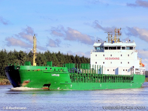
 Norjarl
Current Status
Where is the vessel?
Norjarl is currently in Near BRU, based on AIS data received less than 1h ago.
Latest AIS update:
Current position: 59.02835° N, 5.68742° E (Near BRU)
Average speed (last 7 days): Loading…
Average speed (last 30 days): Loading…
Vessel profile: Norjarl is a Multi Purpose Carrier with dimensions 119m x 16m.
This page combines live AIS, route history, probable destination signals, nearby traffic, and port activity for practical vessel monitoring.
The current position of vessel Norjarl is 59.02835 lat / 5.68742 lng. Updated: 2026-05-14 01:29:48 UTCNearest reference points:
- Near Lura
- Near HUSOYA
- Near Storøya
Currently sailing under the flag of Norway ![]()
Norjarl built in 2009 year
Deadweight:
6796 tDetails:
Live Vessel Norjarl Analytics (details, animations, etc.)
Recent AIS points (UTC):
2026-05-13 22:56:49 UTC · 59.02856, 5.68691 · SOG 0 kn · COG 37°2026-05-13 23:50:49 UTC · 59.02867, 5.68703 · SOG 0 kn · COG 48°
2026-05-14 01:23:47 UTC · 59.02837, 5.68749 · SOG 0 kn · COG 18°
2026-05-14 01:29:48 UTC · 59.02835, 5.68742 · SOG 0 kn · COG 21°