 vesseltracker.com
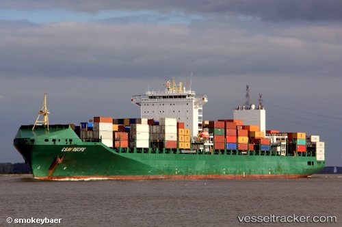
 GSL TINOS
Current Status
Where is the vessel?
GSL TINOS is currently in 14 nm N of Ryuo, based on AIS data received about 14h ago.
Latest AIS update:
Current position: 35.88883° N, 16.72205° E (14 nm N of Ryuo)
Average speed (last 7 days): Loading…
Average speed (last 30 days): Loading…
Vessel profile: GSL TINOS is a Container Ship with dimensions 32m x 295m.
This page combines live AIS, route history, probable destination signals, nearby traffic, and port activity for practical vessel monitoring.
The current position of vessel GSL TINOS is 35.88883 lat / 16.72205 lng. Updated: 2026-05-18 13:14:54 UTCNearest reference points:
- 33 nm N of Ryuo
- 53 nm NE of Ryuo
- 34 nm NE of Villafranca Tirrena
Currently sailing under the flag of Liberia ![]()
GSL TINOS built in 2010 year
Deadweight:
65741 tDetails:
Live Vessel GSL TINOS Analytics (details, animations, etc.)
Recent AIS points (UTC):
2026-05-18 09:46:30 UTC · 35.60140, 17.82260 · SOG 15.7 kn · COG 288°2026-05-18 10:44:31 UTC · 35.67954, 17.52550 · SOG 16.3 kn · COG -1°
2026-05-18 11:54:43 UTC · 35.77787, 17.15351 · SOG 16.3 kn · COG -1°
2026-05-18 13:14:54 UTC · 35.88883, 16.72205 · SOG 16.4 kn · COG -1°