 ELARA
ELARA
Current Status
Where is the vessel?
ELARA is currently in 39 nm SW of Reinhardtsdorf-Schöna, based on AIS data received about 14h ago.
Latest AIS update:
Current position: 13.59666° N, 50.61500° E (39 nm SW of Reinhardtsdorf-Schöna)
Average speed (last 7 days): Loading…
Average speed (last 30 days): Loading…
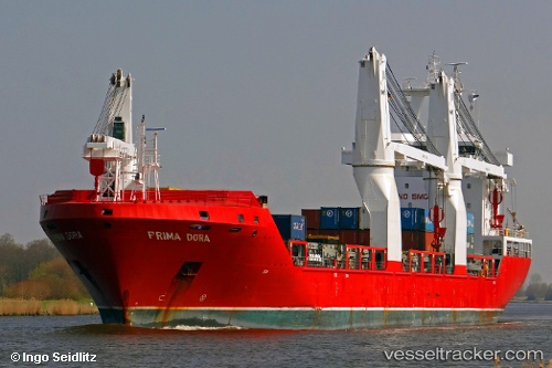
Vessel profile: ELARA is a General Cargo Ship with dimensions m x m.
This page combines live AIS, route history, probable destination signals, nearby traffic, and port activity for practical vessel monitoring.
The current position of vessel ELARA is 13.59666 lat / 50.61500 lng. Updated: 2026-06-19 04:13:22 UTCCurrently sailing under the flag of Liberia ![]()
ELARA built in 2010 year
Deadweight:
16543 tDetails:
Live Vessel ELARA Analytics (details, animations, etc.)
Recent AIS points (UTC):
2026-06-19 00:55:21 UTC · 13.41833, 50.01167 · SOG 11 kn · COG -1°2026-06-19 01:25:19 UTC · 13.44500, 50.10500 · SOG 11 kn · COG -1°
2026-06-19 03:37:20 UTC · 13.56333, 50.50667 · SOG 11 kn · COG -1°
2026-06-19 04:13:22 UTC · 13.59666, 50.61500 · SOG 11 kn · COG -1°