 BOS BROOK
Current Status
Where is the vessel?
BOS BROOK is currently in 82 nm NW of As Salif, based on AIS data received about 15h ago.
Latest AIS update:
Current position: 15.90333° N, 41.39667° E (82 nm NW of As Salif)
Average speed (last 7 days): Loading…
Average speed (last 30 days): Loading…
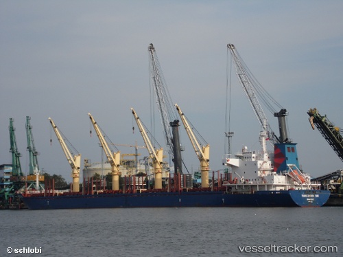
Vessel profile: BOS BROOK is a Bulk Carrier with dimensions 180m x 28m.
This page combines live AIS, route history, probable destination signals, nearby traffic, and port activity for practical vessel monitoring.
The current position of vessel BOS BROOK is 15.90333 lat / 41.39667 lng. Updated: 2026-07-09 23:57:08 UTCNearest reference points:
- 81 nm NW of As Salif
- 92 nm SW of Al Qahmah
- Near Jazan Economic City
Currently sailing under the flag of St Vincent and Grenadines ![]()
BOS BROOK built in 2010 year
Deadweight:
32688 tDetails:
Live Vessel BOS BROOK Analytics (details, animations, etc.)
Recent AIS points (UTC):
2026-07-09 18:25:13 UTC · 15.06415, 41.83728 · SOG 10 kn · COG 335°2026-07-09 21:24:11 UTC · 15.51833, 41.60500 · SOG 10 kn · COG -1°
2026-07-09 21:54:11 UTC · 15.59333, 41.56500 · SOG 10 kn · COG -1°
2026-07-09 23:57:08 UTC · 15.90333, 41.39667 · SOG 10 kn · COG -1°