 vesseltracker.com
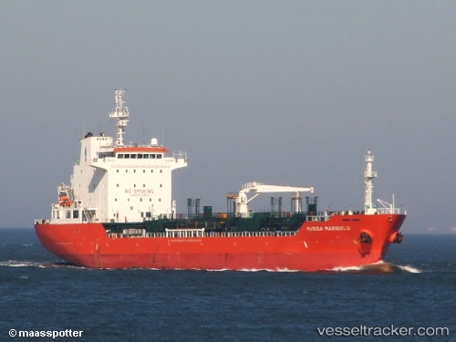
River Oak
Current StatusWhere is the vessel?
River Oak is currently in Near WALVIS BAY, based on AIS data received about 14h ago.
Latest AIS update:
Current position: 22.88168° S, 14.45998° E (Near WALVIS BAY)
Average speed (last 7 days): Loading…
Average speed (last 30 days): Loading…
Vessel profile: River Oak is a Chemical Oil Products Tanker with dimensions 20m x 128m.
This page combines live AIS, route history, probable destination signals, nearby traffic, and port activity for practical vessel monitoring.
The current position of vessel River Oak is -22.88168 lat / 14.45998 lng. Updated: 2026-05-18 05:33:28 UTCNearest reference points:
- Near WALVIS BAY
Details:
Live Vessel River Oak Analytics (details, animations, etc.)
Recent AIS points (UTC):
2026-05-18 02:09:26 UTC · -22.88193, 14.45953 · SOG 0 kn · COG 141°2026-05-18 03:42:26 UTC · -22.88188, 14.46053 · SOG 0 kn · COG 206°
2026-05-18 04:45:26 UTC · -22.88168, 14.46003 · SOG 0 kn · COG 174°
2026-05-18 05:33:28 UTC · -22.88168, 14.45998 · SOG 0 kn · COG 172°