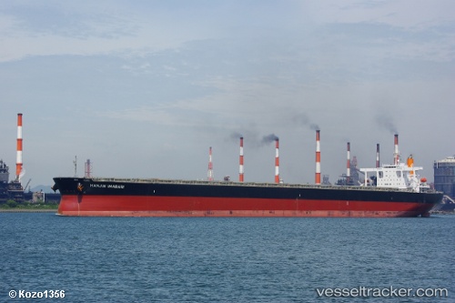
Hl Imabari
Current StatusWhere is the vessel?
Hl Imabari is currently in 42 nm SE of Port de Boké, based on AIS data received about 16h ago.
Latest AIS update:
Current position: 9.94045° N, 14.30858° W (42 nm SE of Port de Boké)
Average speed (last 7 days): Loading…
Average speed (last 30 days): Loading…
Vessel profile: Hl Imabari is a Ore Carrier with dimensions 50m x 299m.
This page combines live AIS, route history, probable destination signals, nearby traffic, and port activity for practical vessel monitoring.
The current position of vessel Hl Imabari is 9.94045 lat / -14.30858 lng. Updated: 2026-05-22 10:50:44 UTCNearest reference points:
- 49 nm S of Port de Boké
- 14 nm S of Port de Boké
- Near Port de Boké
Details:
Live Vessel Hl Imabari Analytics (details, animations, etc.)
Recent AIS points (UTC):
2026-05-22 08:00:27 UTC · 9.94052, -14.30843 · SOG 0 kn · COG -1°2026-05-22 09:40:33 UTC · 9.94050, -14.30840 · SOG 0 kn · COG -1°
2026-05-22 09:55:33 UTC · 9.94052, -14.30847 · SOG 0 kn · COG -1°
2026-05-22 10:50:44 UTC · 9.94045, -14.30858 · SOG 0 kn · COG -1°