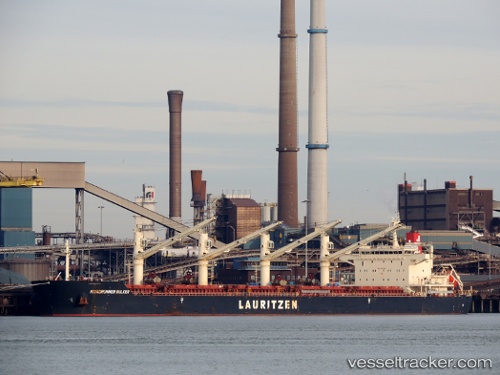
 ANA OCEAN
Current Status
Where is the vessel?
ANA OCEAN is currently in 11 nm W of Moratuwa, based on AIS data received about 15h ago.
Latest AIS update:
Current position: 6.72286° N, 79.69483° E (11 nm W of Moratuwa)
Average speed (last 7 days): Loading…
Average speed (last 30 days): Loading…
Vessel profile: ANA OCEAN is a Bulk Carrier with dimensions m x m.
This page combines live AIS, route history, probable destination signals, nearby traffic, and port activity for practical vessel monitoring.
The current position of vessel ANA OCEAN is 6.72286 lat / 79.69483 lng. Updated: 2026-05-20 15:33:21 UTCNearest reference points:
- 19 nm SW of Bataduwa
- 67 nm SW of Moratuwa
- 38 nm SW of Galle
Currently sailing under the flag of Liberia ![]()
Details:
Live Vessel ANA OCEAN Analytics (details, animations, etc.)
Recent AIS points (UTC):
2026-05-20 11:45:19 UTC · 6.72320, 79.69586 · SOG 0.8 kn · COG 292°2026-05-20 13:33:21 UTC · 6.72309, 79.69609 · SOG 0.6 kn · COG 303°
2026-05-20 13:36:22 UTC · 6.72304, 79.69608 · SOG 0.4 kn · COG 305°
2026-05-20 15:33:21 UTC · 6.72286, 79.69483 · SOG 0.4 kn · COG 308°