 BAO NICE
Current Status
Where is the vessel?
BAO NICE is currently in Near Cape St. Jacques, based on AIS data received about 14h ago.
Latest AIS update:
Current position: 10.30710° N, 107.06696° E (Near Cape St. Jacques)
Average speed (last 7 days): Loading…
Average speed (last 30 days): Loading…
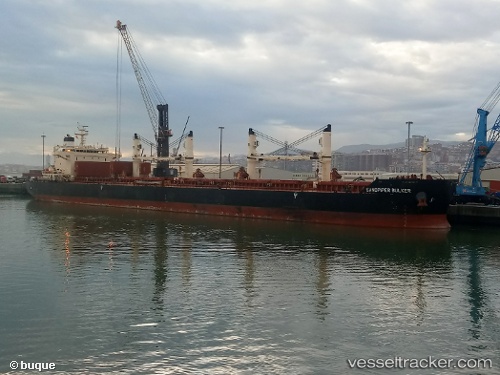
Vessel profile: BAO NICE is a Bulk Carrier with dimensions m x m.
This page combines live AIS, route history, probable destination signals, nearby traffic, and port activity for practical vessel monitoring.
The current position of vessel BAO NICE is 10.30710 lat / 107.06696 lng. Updated: 2026-05-20 22:24:26 UTCNearest reference points:
- Near Cape St. Jacques
- Near Cai Mep
- Near Cape Saint Jacques
Currently sailing under the flag of Liberia ![]()
Details:
Live Vessel BAO NICE Analytics (details, animations, etc.)
Recent AIS points (UTC):
2026-05-20 17:41:35 UTC · 10.20508, 107.06137 · SOG 0 kn · COG 146°2026-05-20 19:15:44 UTC · 10.20333, 107.06000 · SOG 0.3 kn · COG 104°
2026-05-20 22:02:24 UTC · 10.26704, 107.08136 · SOG 5.6 kn · COG 32°
2026-05-20 22:24:26 UTC · 10.30710, 107.06696 · SOG 10.3 kn · COG 330°