 vesseltracker.com
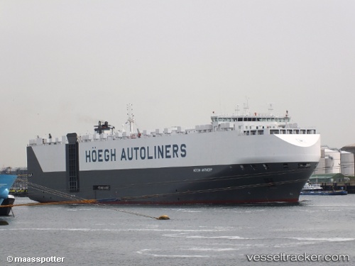
 Hoegh Antwerp
Current Status
Where is the vessel?
Hoegh Antwerp is currently in 114 nm S of Champerico, based on AIS data received less than 1h ago.
Latest AIS update:
Current position: 12.48333° N, 92.51333° W (114 nm S of Champerico)
Average speed (last 7 days): Loading…
Average speed (last 30 days): Loading…
Vessel profile: Hoegh Antwerp is a Vehicles Carrier with dimensions 200m x 32m.
This page combines live AIS, route history, probable destination signals, nearby traffic, and port activity for practical vessel monitoring.
The current position of vessel Hoegh Antwerp is 12.48333 lat / -92.51333 lng. Updated: 2026-05-15 01:17:48 UTCNearest reference points:
- Near San Jose
Currently sailing under the flag of Bahamas ![]()
Hoegh Antwerp built in 2013 year
Deadweight:
21000 tDetails:
Live Vessel Hoegh Antwerp Analytics (details, animations, etc.)
Recent AIS points (UTC):
2026-05-14 21:56:45 UTC · 12.03500, -91.57167 · SOG 18 kn · COG -1°2026-05-14 22:08:46 UTC · 12.06333, -91.62667 · SOG 18 kn · COG -1°
2026-05-15 00:17:46 UTC · 12.35500, -92.23167 · SOG 18 kn · COG -1°
2026-05-15 01:17:48 UTC · 12.48333, -92.51333 · SOG 18 kn · COG -1°