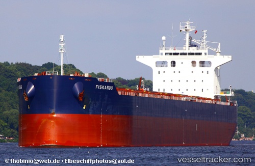
Panamanian
Current StatusWhere is the vessel?
Panamanian is currently in Near Grangetown, based on AIS data received about 14h ago.
Latest AIS update:
Current position: 54.60125° N, 1.15434° W (Near Grangetown)
Average speed (last 7 days): Loading…
Average speed (last 30 days): Loading…
Vessel profile: Panamanian is a Bulk Carrier with dimensions 32m x 229m.
This page combines live AIS, route history, probable destination signals, nearby traffic, and port activity for practical vessel monitoring.
The current position of vessel Panamanian is 54.60125 lat / -1.15434 lng. Updated: 2026-05-22 07:27:08 UTCNearest reference points:
- Near TYNE
- Near Blyth
- Near Hessle/Hull
Details:
Live Vessel Panamanian Analytics (details, animations, etc.)
Recent AIS points (UTC):
2026-05-22 03:59:27 UTC · 54.60122, -1.15434 · SOG 0 kn · COG 315°2026-05-22 04:29:08 UTC · 54.60119, -1.15429 · SOG 0.1 kn · COG 315°
2026-05-22 05:53:07 UTC · 54.60123, -1.15429 · SOG 0 kn · COG 315°
2026-05-22 07:27:08 UTC · 54.60125, -1.15434 · SOG 0 kn · COG 315°