 SAFEEN AL NOUR
Current Status
Where is the vessel?
SAFEEN AL NOUR is currently in 255 nm NE of Windermere, based on AIS data received about 17h ago.
Latest AIS update:
Current position: 30.56484° S, 15.42448° W (255 nm NE of Windermere)
Average speed (last 7 days): Loading…
Average speed (last 30 days): Loading…
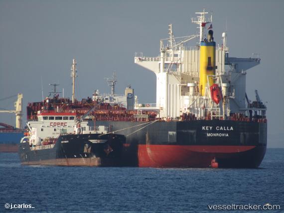
Vessel profile: SAFEEN AL NOUR is a Bulk Carrier with dimensions 229m x 32m.
This page combines live AIS, route history, probable destination signals, nearby traffic, and port activity for practical vessel monitoring.
The current position of vessel SAFEEN AL NOUR is -30.56484 lat / -15.42448 lng. Updated: 2026-05-20 17:31:53 UTCNearest reference points:
- Open sea, approx. 400 nm off the nearest listed port
- Open sea, approx. 401 nm off the nearest listed port
- Open sea, approx. 402 nm off the nearest listed port
Currently sailing under the flag of Marshall Islands ![]()
SAFEEN AL NOUR built in 2010 year
Deadweight:
83353 tDetails:
Live Vessel SAFEEN AL NOUR Analytics (details, animations, etc.)
Recent AIS points (UTC):
2026-05-20 13:35:54 UTC · -30.46024, -16.21635 · SOG 10.6 kn · COG 93°2026-05-20 16:02:55 UTC · -30.52477, -15.71545 · SOG 10.6 kn · COG 99°
2026-05-20 16:56:24 UTC · -30.54784, -15.53928 · SOG 10.2 kn · COG 101°
2026-05-20 17:31:53 UTC · -30.56484, -15.42448 · SOG 10.3 kn · COG 101°