 OINOUSSIAN VIRTUE
Current Status
Where is the vessel?
OINOUSSIAN VIRTUE is currently in 11 nm W of Shapa, based on AIS data received about 14h ago.
Latest AIS update:
Current position: 21.42956° N, 111.29745° E (11 nm W of Shapa)
Average speed (last 7 days): Loading…
Average speed (last 30 days): Loading…
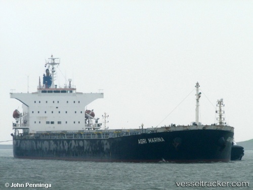
Vessel profile: OINOUSSIAN VIRTUE is a Bulk Carrier with dimensions 32m x 218m.
This page combines live AIS, route history, probable destination signals, nearby traffic, and port activity for practical vessel monitoring.
The current position of vessel OINOUSSIAN VIRTUE is 21.42956 lat / 111.29745 lng. Updated: 2026-07-09 08:07:15 UTCNearest reference points:
- Near Dianbai
- Near SHUIDONG
- 34 nm S of Dianbai
Currently sailing under the flag of Marshall Islands ![]()
OINOUSSIAN VIRTUE built in 2008 year
Deadweight:
76596 tDetails:
Live Vessel OINOUSSIAN VIRTUE Analytics (details, animations, etc.)
Recent AIS points (UTC):
2026-07-09 05:22:15 UTC · 21.42950, 111.29745 · SOG 0 kn · COG 17°2026-07-09 06:13:15 UTC · 21.42953, 111.29748 · SOG 0 kn · COG 17°
2026-07-09 07:49:15 UTC · 21.42956, 111.29745 · SOG 0 kn · COG 17°
2026-07-09 08:07:15 UTC · 21.42956, 111.29745 · SOG 0 kn · COG 17°