 Cecilie K
Current Status
Where is the vessel?
Cecilie K is currently in 42 nm S of Al Dhafra, based on AIS data received about 15h ago.
Latest AIS update:
Current position: 23.53333° N, 54.48167° E (42 nm S of Al Dhafra)
Average speed (last 7 days): Loading…
Average speed (last 30 days): Loading…
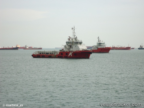
Vessel profile: Cecilie K is a Offshore Tug Supply Ship with dimensions 60m x 16m.
This page combines live AIS, route history, probable destination signals, nearby traffic, and port activity for practical vessel monitoring.
The current position of vessel Cecilie K is 23.53333 lat / 54.48167 lng. Updated: 2026-05-22 11:42:09 UTCNearest reference points:
- Near Esnnad
- Near KHALIFA
- Near Jebel Ali Free Zone
Currently sailing under the flag of Marshall Is ![]()
Cecilie K built in 2010 year
Deadweight:
1686 tDetails:
Live Vessel Cecilie K Analytics (details, animations, etc.)
Recent AIS points (UTC):
2026-05-22 11:42:09 UTC · 23.53333, 54.48167 · SOG 0 kn · COG -1°2026-05-22 11:42:09 UTC · 23.53333, 54.48167 · SOG 0 kn · COG -1°
2026-05-22 11:42:09 UTC · 23.53333, 54.48167 · SOG 0 kn · COG -1°
2026-05-22 11:42:09 UTC · 23.53333, 54.48167 · SOG 0 kn · COG -1°