 Santa Ines
Current Status
Where is the vessel?
Santa Ines is currently in 39 nm NW of Ad Dakhla, based on AIS data received about 14h ago.
Latest AIS update:
Current position: 24.17634° N, 16.41616° W (39 nm NW of Ad Dakhla)
Average speed (last 7 days): Loading…
Average speed (last 30 days): Loading…
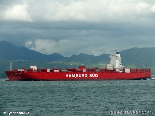
Vessel profile: Santa Ines is a Container Ship with dimensions 300m x 44m.
This page combines live AIS, route history, probable destination signals, nearby traffic, and port activity for practical vessel monitoring.
The current position of vessel Santa Ines is 24.17634 lat / -16.41616 lng. Updated: 2026-05-21 07:01:50 UTCNearest reference points:
- 68 nm NW of Ad Dakhla
- Near DAKHLA
- 110 nm NE of Las Brujas
Currently sailing under the flag of Denmark ![]()
Santa Ines built in 2012 year
Deadweight:
92910 tDetails:
Live Vessel Santa Ines Analytics (details, animations, etc.)
Recent AIS points (UTC):
2026-05-21 03:21:47 UTC · 23.44318, -16.88669 · SOG 13.7 kn · COG 30°2026-05-21 04:09:44 UTC · 23.59917, -16.78042 · SOG 13.7 kn · COG 30°
2026-05-21 06:09:16 UTC · 23.99833, -16.52667 · SOG 13 kn · COG -1°
2026-05-21 07:01:50 UTC · 24.17634, -16.41616 · SOG 13.7 kn · COG 29°