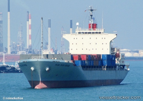
 PEARL RIVER BRIDGE
Current Status
Where is the vessel?
PEARL RIVER BRIDGE is currently in 48 nm SE of Minachi, based on AIS data received about 14h ago.
Latest AIS update:
Current position: 33.49243° N, 136.59261° E (48 nm SE of Minachi)
Average speed (last 7 days): Loading…
Average speed (last 30 days): Loading…
Vessel profile: PEARL RIVER BRIDGE is a Container Ship with dimensions m x m.
This page combines live AIS, route history, probable destination signals, nearby traffic, and port activity for practical vessel monitoring.
The current position of vessel PEARL RIVER BRIDGE is 33.49243 lat / 136.59261 lng. Updated: 2026-05-19 05:06:57 UTCNearest reference points:
- 20 nm S of HAMAJIMA
- 23 nm S of Minachi
- 88 nm SE of Minachi
Currently sailing under the flag of Singapore ![]()
Details:
Live Vessel PEARL RIVER BRIDGE Analytics (details, animations, etc.)
Recent AIS points (UTC):
2026-05-19 01:40:23 UTC · 33.15060, 135.74760 · SOG 14.1 kn · COG -1°2026-05-19 01:54:21 UTC · 33.16763, 135.81004 · SOG 14.2 kn · COG 65°
2026-05-19 03:55:15 UTC · 33.36984, 136.31554 · SOG 13.6 kn · COG 47°
2026-05-19 05:06:57 UTC · 33.49243, 136.59261 · SOG 13.8 kn · COG 62°