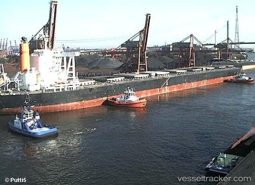
 OCEAN CREST
Current Status
Where is the vessel?
OCEAN CREST is currently in 297 nm E of Tan Cang Qui Nhon, based on AIS data received about 14h ago.
Latest AIS update:
Current position: 15.15592° N, 114.74044° E (297 nm E of Tan Cang Qui Nhon)
Average speed (last 7 days): Loading…
Average speed (last 30 days): Loading…
Vessel profile: OCEAN CREST is a Bulk Carrier with dimensions m x m.
This page combines live AIS, route history, probable destination signals, nearby traffic, and port activity for practical vessel monitoring.
The current position of vessel OCEAN CREST is 15.15592 lat / 114.74044 lng. Updated: 2026-07-09 19:32:22 UTCNearest reference points:
- 282 nm E of Tan Cang Qui Nhon
- 222 nm W of Iba
- 222 nm E of Tan Cang Qui Nhon
Currently sailing under the flag of Liberia ![]()
Details:
Live Vessel OCEAN CREST Analytics (details, animations, etc.)
Recent AIS points (UTC):
2026-07-08 14:34:31 UTC · 20.45433, 117.60753 · SOG 12.3 kn · COG 211°2026-07-09 17:57:23 UTC · 15.43722, 114.88730 · SOG 12 kn · COG 210°
2026-07-09 19:22:21 UTC · 15.18512, 114.75562 · SOG 11.8 kn · COG 210°
2026-07-09 19:32:22 UTC · 15.15592, 114.74044 · SOG 11.7 kn · COG 210°