Rissho Maru
Current StatusWhere is the vessel?
Rissho Maru is currently in 14 nm W of SENZAKI, based on AIS data received about 14h ago.
Latest AIS update:
Current position: 34.46410° N, 130.94055° E (14 nm W of SENZAKI)
Average speed (last 7 days): Loading…
Average speed (last 30 days): Loading…
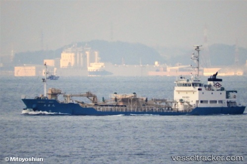
Vessel profile: Rissho Maru is a Cement Carrier with dimensions 11m x 70m.
This page combines live AIS, route history, probable destination signals, nearby traffic, and port activity for practical vessel monitoring.
The current position of vessel Rissho Maru is 34.46410 lat / 130.94055 lng. Updated: 2026-05-20 16:07:16 UTCNearest reference points:
- Near Hibikishinko
- Near Shimonoseki
- Near Kokura
Details:
Live Vessel Rissho Maru Analytics (details, animations, etc.)
Recent AIS points (UTC):
2026-05-20 10:02:22 UTC · 35.25812, 132.17677 · SOG 12.4 kn · COG 230°2026-05-20 10:02:22 UTC · 35.25812, 132.17677 · SOG 12.4 kn · COG 230°
2026-05-20 10:02:22 UTC · 35.25812, 132.17677 · SOG 12.4 kn · COG 230°
2026-05-20 16:07:16 UTC · 34.46410, 130.94055 · SOG 12.6 kn · COG 228°