 OCEANIC STAR
Current Status
Where is the vessel?
OCEANIC STAR is currently in 178 nm W of Kafr Kanna, based on AIS data received about 14h ago.
Latest AIS update:
Current position: 32.82167° N, 38.86667° W (178 nm W of Kafr Kanna)
Average speed (last 7 days): Loading…
Average speed (last 30 days): Loading…
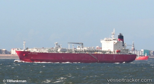
Vessel profile: OCEANIC STAR is a Lpg Tanker with dimensions m x m.
This page combines live AIS, route history, probable destination signals, nearby traffic, and port activity for practical vessel monitoring.
The current position of vessel OCEANIC STAR is 32.82167 lat / -38.86667 lng. Updated: 2026-06-27 18:20:39 UTCNearest reference points:
- 197 nm W of Kafr Kanna
Currently sailing under the flag of Liberia ![]()
Details:
Live Vessel OCEANIC STAR Analytics (details, animations, etc.)
Recent AIS points (UTC):
2026-06-27 14:20:38 UTC · 33.77333, -39.01167 · SOG 14 kn · COG -1°2026-06-27 15:38:56 UTC · 33.46209, -38.95690 · SOG 14.3 kn · COG 172°
2026-06-27 16:26:32 UTC · 33.27402, -38.93100 · SOG 14.5 kn · COG 176°
2026-06-27 18:20:39 UTC · 32.82167, -38.86667 · SOG 14 kn · COG -1°