 Tempanos
Current Status
Where is the vessel?
Tempanos is currently in 181 nm SW of Galle, based on AIS data received about 14h ago.
Latest AIS update:
Current position: 4.31627° N, 77.72923° E (181 nm SW of Galle)
Average speed (last 7 days): Loading…
Average speed (last 30 days): Loading…
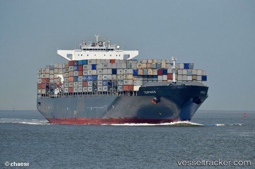
Vessel profile: Tempanos is a Container Ship with dimensions 300m x 46m.
This page combines live AIS, route history, probable destination signals, nearby traffic, and port activity for practical vessel monitoring.
The current position of vessel Tempanos is 4.31627 lat / 77.72923 lng. Updated: 2026-07-03 02:04:34 UTCNearest reference points:
- 94 nm SW of Galle
- 82 nm W of Moratuwa
- 98 nm S of Nagercoil
Currently sailing under the flag of Liberia ![]()
Tempanos built in 2011 year
Deadweight:
94649 tDetails:
Live Vessel Tempanos Analytics (details, animations, etc.)
Recent AIS points (UTC):
2026-07-02 21:03:58 UTC · 5.43915, 78.66546 · SOG 17.2 kn · COG 227°2026-07-03 00:14:24 UTC · 4.75372, 78.05860 · SOG 17.7 kn · COG -1°
2026-07-03 01:14:30 UTC · 4.51739, 77.87686 · SOG 17.7 kn · COG -1°
2026-07-03 02:04:34 UTC · 4.31627, 77.72923 · SOG 17.8 kn · COG -1°