 vesseltracker.com
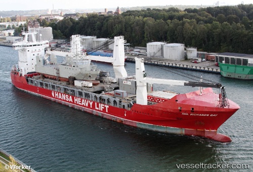
Pauwgracht
Current StatusWhere is the vessel?
Pauwgracht is currently in 126 nm N of Corcos, based on AIS data received less than 1h ago.
Latest AIS update:
Current position: 43.75500° N, 45.23167° W (126 nm N of Corcos)
Average speed (last 7 days): Loading…
Average speed (last 30 days): Loading…
Vessel profile: Pauwgracht is a Heavy Load Carrier with dimensions 24m x 168m.
This page combines live AIS, route history, probable destination signals, nearby traffic, and port activity for practical vessel monitoring.
The current position of vessel Pauwgracht is 43.75500 lat / -45.23167 lng. Updated: 2026-05-02 13:48:15 UTCNearest reference points:
- 165 nm S of White Rose Field
Details:
Live Vessel Pauwgracht Analytics (details, animations, etc.)
Recent AIS points (UTC):
2026-05-02 10:18:17 UTC · 43.49500, -46.25833 · SOG 6 kn · COG -1°2026-05-02 12:09:16 UTC · 43.63833, -45.71833 · SOG 13 kn · COG -1°
2026-05-02 13:09:15 UTC · 43.70833, -45.42333 · SOG 13 kn · COG -1°
2026-05-02 13:48:15 UTC · 43.75500, -45.23167 · SOG 13 kn · COG -1°