 vesseltracker.com
 SEA GULL 18
Current Status
Where is the vessel?
SEA GULL 18 is currently in 15 nm E of Gombong, based on AIS data received about 1h ago.
Latest AIS update:
Current position: 7.15650° N, 108.36790° E (15 nm E of Gombong)
Average speed (last 7 days): Loading…
Average speed (last 30 days): Loading…
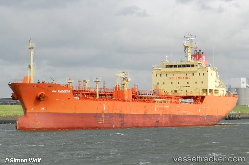
Vessel profile: SEA GULL 18 is a Chemical/Oil Products Tanker with dimensions 20m x 122m.
This page combines live AIS, route history, probable destination signals, nearby traffic, and port activity for practical vessel monitoring.
The current position of vessel SEA GULL 18 is 7.15650 lat / 108.36790 lng. Updated: 2026-04-17 13:30:17 UTCNearest reference points:
- 11 nm N of Gombong
- 41 nm NW of Brebes
- 30 nm SW of Dai Hung (Tandem Load)
Currently sailing under the flag of Panama ![]()
SEA GULL 18 built in 2010 year
Deadweight:
12825 tDetails:
Live Vessel SEA GULL 18 Analytics (details, animations, etc.)
Recent AIS points (UTC):
2026-04-17 07:31:03 UTC · 8.05745, 109.11883 · SOG 11.8 kn · COG 216°2026-04-17 09:31:13 UTC · 7.75132, 108.87066 · SOG 11.6 kn · COG 209°
2026-04-17 11:36:31 UTC · 7.44543, 108.59916 · SOG 11.7 kn · COG 216°
2026-04-17 13:30:17 UTC · 7.15650, 108.36790 · SOG 11.8 kn · COG -1°