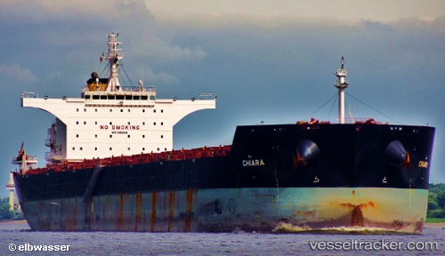
Anglo Alexandria
Current StatusWhere is the vessel?
Anglo Alexandria is currently in 14 nm N of Abbot Point, based on AIS data received about 14h ago.
Latest AIS update:
Current position: 19.67167° S, 148.05667° E (14 nm N of Abbot Point)
Average speed (last 7 days): Loading…
Average speed (last 30 days): Loading…
Vessel profile: Anglo Alexandria is a Bulk Carrier with dimensions 43m x 255m.
This page combines live AIS, route history, probable destination signals, nearby traffic, and port activity for practical vessel monitoring.
The current position of vessel Anglo Alexandria is -19.67167 lat / 148.05667 lng. Updated: 2026-05-21 15:33:50 UTCNearest reference points:
- Near AIRLIE
- Near Abell Point
- Near Whitsunday Island
Details:
Live Vessel Anglo Alexandria Analytics (details, animations, etc.)
Recent AIS points (UTC):
2026-05-21 11:42:05 UTC · -19.67193, 148.05669 · SOG 0.1 kn · COG 107°2026-05-21 13:15:52 UTC · -19.67167, 148.05499 · SOG 0 kn · COG -1°
2026-05-21 14:24:52 UTC · -19.67167, 148.05499 · SOG 0 kn · COG -1°
2026-05-21 15:33:50 UTC · -19.67167, 148.05667 · SOG 0 kn · COG -1°