 NICHOLAS G.S
Current Status
Where is the vessel?
NICHOLAS G.S is currently in Near TANAH MERAH, based on AIS data received about 15h ago.
Latest AIS update:
Current position: 1.29466° N, 104.07046° E (Near TANAH MERAH)
Average speed (last 7 days): Loading…
Average speed (last 30 days): Loading…
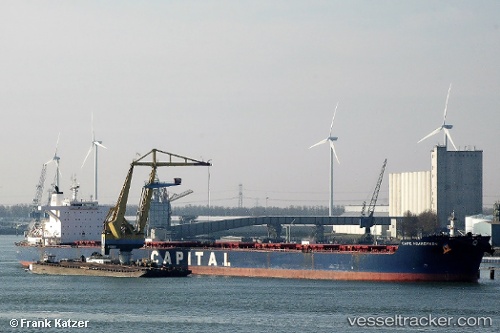
Vessel profile: NICHOLAS G.S is a Bulk Carrier with dimensions m x m.
This page combines live AIS, route history, probable destination signals, nearby traffic, and port activity for practical vessel monitoring.
The current position of vessel NICHOLAS G.S is 1.29466 lat / 104.07046 lng. Updated: 2026-05-20 07:51:16 UTCNearest reference points:
- Near TANAH MERAH
- Near Changi
- Near Tanjung Setapa
Currently sailing under the flag of Marshall Islands ![]()
Details:
Live Vessel NICHOLAS G.S Analytics (details, animations, etc.)
Recent AIS points (UTC):
2026-05-20 04:53:52 UTC · 1.24221, 104.00843 · SOG 6.7 kn · COG 82°2026-05-20 06:18:55 UTC · 1.28400, 104.11861 · SOG 2.9 kn · COG 272°
2026-05-20 07:34:44 UTC · 1.29518, 104.07043 · SOG 0.1 kn · COG 82°
2026-05-20 07:51:16 UTC · 1.29466, 104.07046 · SOG 0 kn · COG 67°